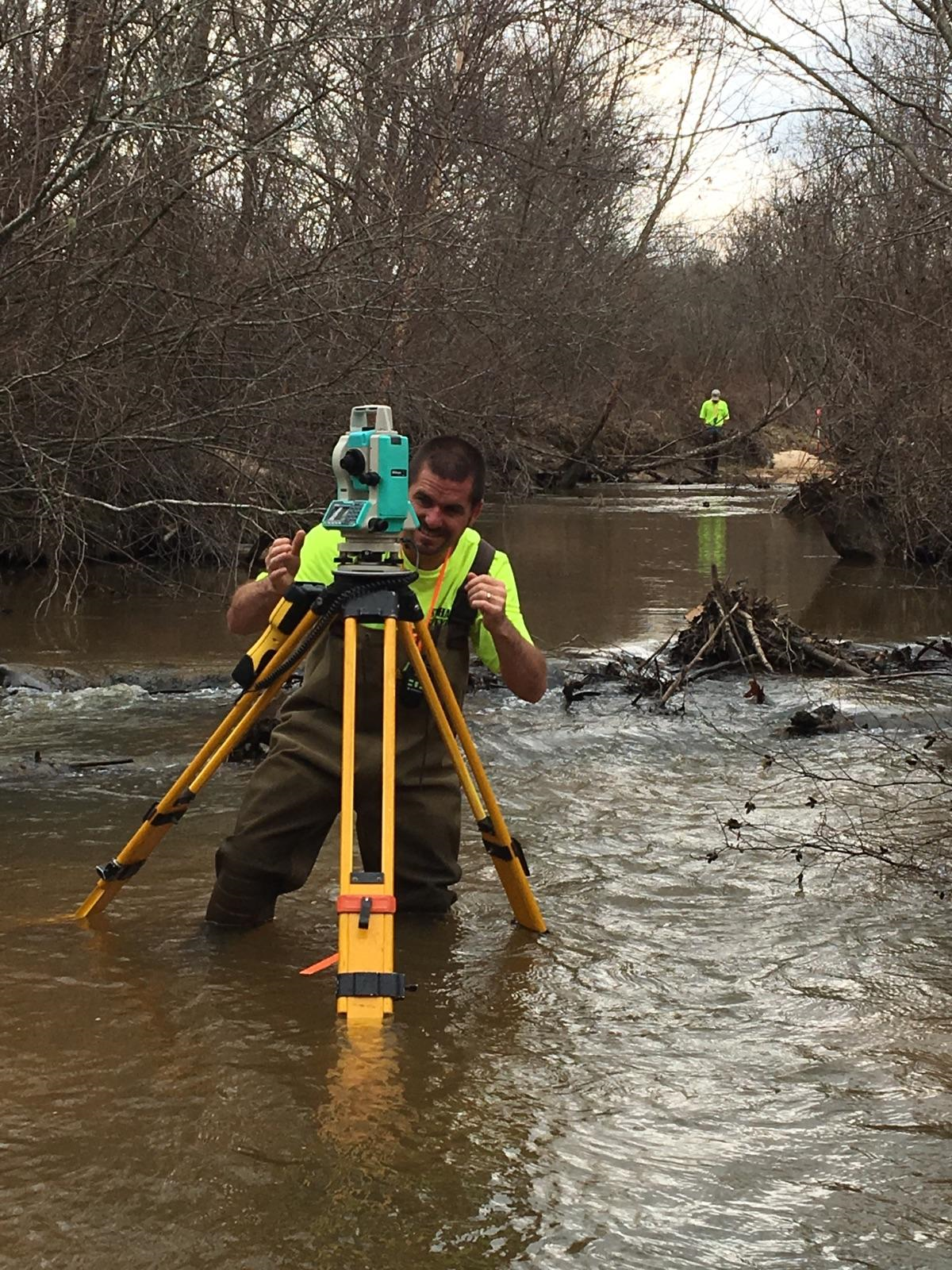
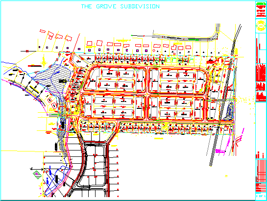
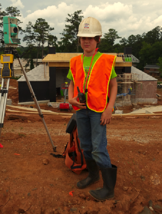
Land Surveyors Lagrange

Stothard Land Surveying

Land Surveyors Lagrange
LAND SURVEYING, CALL FOR YOUR FREE QUOTE TODAY

Address
1008 Colquitt St
Place
Lagrange, GA   30241 
Landline
(706) 884-5279
E-Mail
[email protected]
Facebook
Stothard-Engineering-Inc-Land-Surveying-5264752774
Website
stothardlandsurveying.com

Description

Stothard Land Surveying in conjunction with Stothard Engineering has been handling West Georgia and East Alabama's Surveying and Civil engineering needs since 1988. Stothard Surveying is opening a new location in Hamilton Georgia at 114 North College street to help better serve the needs of those in the surrounding communities

Keywords SURVEYOR, SURVEY, LAND SURVEY, LAND SURVEYOR, CLOSING SURVEY, BOUNDARY SURVEY, ELEVATION CERTIFICATE, ALTA SURVEY, ASBUILT SURVEY, LAND DEVELOPMENT, SUBDIVIDE, PROPERTY LINES, MARK PROPERTY LINES, FLAG PROPERTY LINES, HARRIS COUNTY, TROUP COUNTY, MERIWETHER COUNTY, HEARD COUNTY, TALBOT COUNTY, CHAMBERS COUNTY, RANDOLPH COUNTY, LEE COUNTY, LAND SURVEYOR HARRIS COUNTY, LAND SURVEYOR TROUP COUNTY, LAND SURVEYOR LAGRANGE, ELEVATION CERTIFICATES, SITE PLANS, HOUSE STAKING, LaGrange Georgia Land Survey, COWETA COUNTY LAND SURVEYING, LAGRANGE SURVEYOR, GEORGIA SURVEYOR, ALABAMA SURVEYOR, HAMILTON GA SURVEYOR, CATAULA GA SURVEYOR, FORTSON GA SURVEYOR, PINE MOUNTAIN GA SURVEYOR.

Reviews

This listing was not reviewed yet:

Opening hours

Payment Options

Visa, Cash, Check, MasterCard

  • LAND SURVEYING

    Surveying or land surveying is the technique, profession, and science of determining the terrestrial or three-dimensional position of points and the distances and angles between them. A land surveying professional is called a land surveyor.

  • LAND SURVEY

    IDENTIFY PROPERTY AND PROPERTY LINES, DETERMINE ACREAGE AND LOCATE STRUCTURES.

  • Boundary Survey

    Establish and identify property, setting or marking property corners and providing a plat

  • Mark Property lines

    stake or flag property lines

  • closing survey

    locate and identify property corners, acreage and permanent structures and provide a plat

  • LAND SURVEYOR

    Surveying or land surveying is the technique, profession, and science of determining the terrestrial or three-dimensional position of points and the distances and angles between them. A land surveying professional is called a land surveyor.

  • mortgage survey

    same as a closing survey, generally required by a bank

  • ALTA

    Definition of an ALTA Survey. ... An ALTA Land Survey guarantees to meet the requirements for an ALTA/ACSM Land Title Survey as detailed by the American Land Title Association, National Society of Professional Surveyors and the American Congress on Surveying and Mapping.

  • elevation certificate

    The Flood Elevation Certificate is an important tool of the National Flood Insurance Program (NFIP). It is used to certify building elevations if the building is located in a Special Flood Hazard Area in order to: Determine the proper flood insurance premium rate for the building.

  • TOPOGRAPHY

    a detailed description or representation on a map of the natural and artificial features of an area

  • HARRIS COUNTY SURVEYING

    We service Harris county

  • TROUP COUNTY SURVEYING

    We Service Troup County

  • Site Plan

    When building a new home its important to know your new home is on your property and not encroaching over set back lines or right of ways. Give us your house plans and we'll stake your house corners and provide you with a Site Plan needed to meet county requirements.

  • LAND SURVEYOR HARRIS COUNTY

    We have expanded to Harris County Georgia with the Purchase of our new office located at 114 North College Street in Hamilton. We are currently in the process of renovating the property, so please call us at (706) 884-5279 for your fast and free quote.

  • LAND SURVEYOR TROUP COUNTY

    For 30 years we have been servicing the local community in all their land surveying needs.

  • property lines

    establish and mark property line

  • Land Surveyor in Franklin, Georgia

  • Land Surveyor in Upson County, Georgia

  • SUBDIVISION LAYOUT

    From preliminary design to final plat and approval we will walk you through the process.

  • HEARD COUNTY LAND SURVEYOR

    Stothard Surveying covers all of Heard County.

  • Meriwether County Land Surveying

  • Locate Property Corners

  • E & S PLAN

  • COWETA COUNTY

  • COWETA COUNTY LAND SURVEYOR

  • Newnan Surveyor

  • Senoia Surveyor

  • Grantville Surveyor

  • Coweta County Mark Lines

  • Coweta County Staking

  • Coweta Surveyor

  • Survey

  • Senoia Surveyor

  • Newnan Surveyor

  • surveyor near me

  • Hamilton, GA

Categories

Land Surveyors
(706)884-5279 (706)-884-5279 +17068845279